Scientists Hack Weather Satellite Data to Quantify Methane Leaks
(Bloomberg) — Satellites sitting more than 22,200 miles (35,700 kilometers) above the Earth’s surface have been capturing storms and weather data for decades. Now, scientists have essentially hacked the data coming back for another purpose: spotting methane emissions.
Most Read from Bloomberg
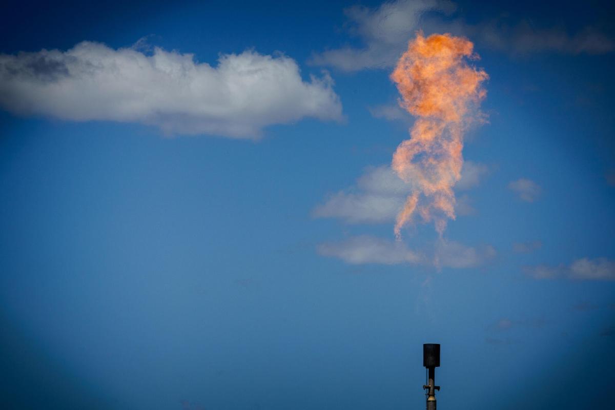
The innovation could have far-reaching consequences for fossil fuel operators unable or unwilling to halt major methane releases because it allows researchers to observe emissions every five minutes and estimate the total amount emitted. The approach, which uses shortwave infrared observations from the National Oceanic and Atmospheric Administration’s Geostationary Operational Environmental Satellites (GOES), can detect large-emitting events of around tens of metric tons an hour or larger.
Satellites observe concentrations of methane from space by analyzing the way sunlight reflects off the Earth. As light passes through a cloud of the gas, its intensity is weakened on certain wavelengths. Methane absorbs light in the short-wave infrared portion of the electromagnetic spectrum. Although the GOES system wasn’t built to detect methane, its sensor includes short-wave infrared channels designed to observe things like snow cover and fire hot spots.
The new technique is already being used by geoanalytics firms and scientists to quantify major emissions events in North America. Kayrros SAS used the approach to estimate that a fossil gas pipeline spewed about 840 metric tons of methane into the atmosphere after it was ruptured by a farmer using an excavator. That’s very close to the 50.9 million cubic feet of gas operator Williams Cos. said leaked, which works out to about 900 metric tons of methane. The short-term climate impact of the event was roughly equal to the annual emissions from 17,000 US cars.
Read more: Regulators Probe Why Williams Took More Than an Hour to Halt a Methane Leak
The new approach, which was executed for the first time last year by scientists at Harvard University, enables near continuous, real-time coverage and contrasts with all other satellites currently used to detect methane, which are in low-Earth orbit and snap images as they circumnavigate the…